Sakariya Geoservices combines deep geoscience expertise with modern exploration technologies to deliver reliable, decision-ready insights. We provide an integrated range of services, including remote sensing, GIS, and geological, geophysical, and geochemical surveys and mapping.
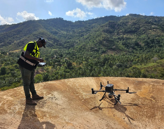
Our advanced aerial and ground solutions—such as drone magnetic surveys, drone-based DGPS, ground magnetic surveys, and induced polarization (IP)—generate high-resolution geospatial and subsurface data for confident target identification. Analytical needs are supported through accredited laboratory partners, offering high-quality mineralogical and geochemical analyses (e.g., petrography, stereo microscopy, FTIR, Raman spectroscopy, XRD, fire assay, ICP-MS, and wet chemistry and other specific data as per requirements).
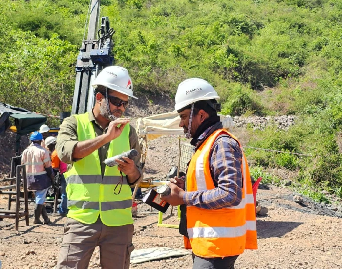
Drilling programs are delivered through trusted local partners, covering oriented core, RAB, and auger drilling. Beyond exploration, we support clients with investor-ready technical communication, early-stage mining planning, and project development, ensuring continuity from discovery through evaluation and execution.
The Jomu Project lies within the Lake Victoria Goldfields region of northern Tanzania – an area characterized by E-W trending Archean greenstone belts known for hosting several world-class gold deposits. The nearest town from project area is Kahama, located at a distance of ~ 48 Kilometers to the South.
Sakariya Geo Services was engaged by Sakariya Mines & Minerals to conduct stage-wise exploration activities within this license, covering 9.44 sq.km. area, focusing on identifying and evaluating the gold mineralization potential.
Exploration Activities Conducted
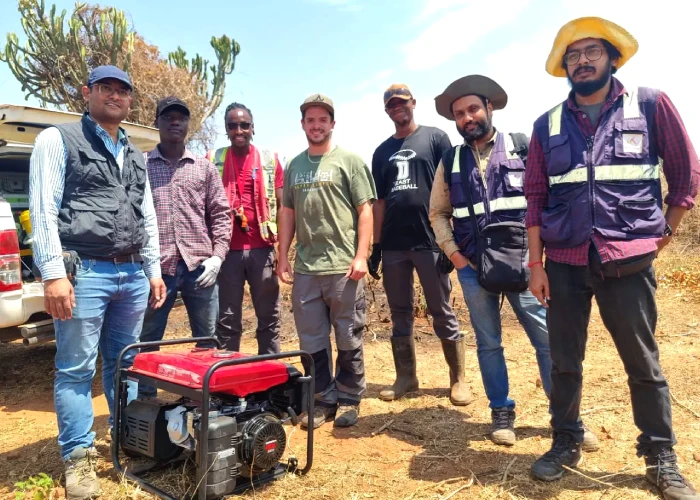
A comprehensive desktop review and remote sensing interpretation were completed prior to systematic on-ground exploration, incorporating regional geological datasets, satellite imagery, and previous exploration records where available. Sakariya Geo Services undertook the initial field campaign in May 2022.
Geological mapping at reconnaissance to detailed scale was completed across the project area. Geological mapping was supported by outcrop sampling and regolith characterization to establish surface lithological relationships and aid geochemical interpretation. The project area is underlain predominantly by Upper Nyanzian stratigraphy, consisting of Banded Iron Formation (BIF), chert interlayered with tuffaceous volcaniclastic sequences.
A two-phase soil geochemical survey was conducted to delineate potential gold anomaly. Sampling grids were designed based on regolith conditions, and lithological attributes. The geochemical dataset highlighted several anomalies warranting further sub-surface investigation.
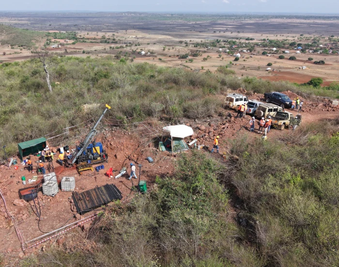
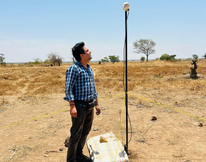
Subsequent to geochemical evaluation, a 214 line-km (LKM) ground magnetic survey was proposed and executed to refine structural trends, lithological contacts, and potential dilation zones favorable for gold mineralization.
Integration of geological, geochemical, and ground magnetic datasets resulted in the delineation of two target zones. These targets were selected for follow-up works including a 12.3 LKM IP – Resistivity survey to evaluate subsurface chargeability/resistivity responses associated with sulphide-bearing mineralized systems.
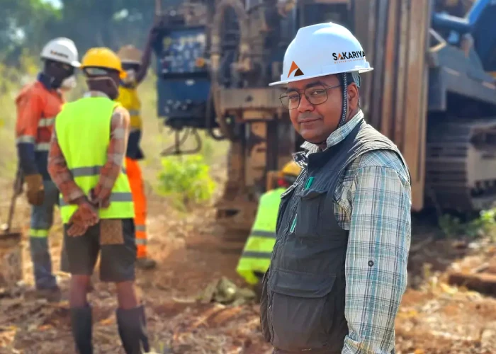
Based on the combined exploration dataset, Sakariya Geo Services adopted a data-driven targeting approach and proposed an initial drilling program comprising 1,500 meters of diamond core drilling and reverse circulation (RC) drilling along a strike length of 1800 meters, to test the defined priority targets. The initial drill samples’ analysis result has escalated the confidence to plan further 15,000 meters of drilling, which is currently in progress.
The Jomu Project lies within the Lake Victoria Goldfields region of northern Tanzania – an area characterized by E-W trending Archean greenstone belts known for hosting several world-class gold deposits. The nearest town from project area is Kahama, located at a distance of ~ 48 Kilometers to the South.
Sakariya Geo Services was commissioned by Sakariya Mines & Minerals to undertake stage-wise exploration across the 22.18 sq. km area, with a primary focus on identifying and evaluating its graphite mineralization potential.
Exploration Activities Conducted
A structured desktop study and literature reviews, incorporating regional geological data, satellite imagery, and geological interpretations, commenced in February 2022. Field-based exploration activities were initiated in August 2022 with a reconnaissance survey across the project area.
Reconnaissance geological mapping at a 1:20,000 scale, followed by detailed mapping at 1:5,000 scale, enabled delineation of the principal lithologic units with structural information. The project area is characterized by medium- to high-grade metamorphism (amphibolite to granulite facies). Major lithologies include graphitic schists, subordinate quartzo-feldspathic and carbonate bands, and interlayered units of garnet–biotite gneiss and mafic to felsic granulites. Foliation generally strikes N-S with an approximate 30° eastward dip, showing localized variations attributed to multiple deformation episodes.
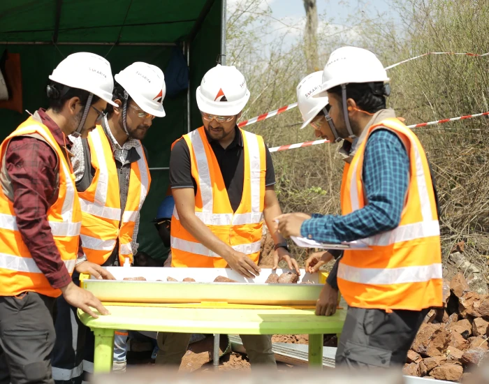
Mapping was supported by outcrop sampling and pitting to obtain representative bedrock material. Geochemical analysis of these samples returned encouraging Total Graphitic Carbon (TGC) values, while petrographic investigations were undertaken to assess graphite flake size, mode of occurrence, and mineralogical associations.
Integration of geological, structural, and geochemical datasets enabled delineation of priority target zones for drill testing. Based on these interpretations, Sakariya Geo Services designed an initial Phase 1 diamond drilling program, comprising 56 drillholes for a total of 5,728 meters. Subsequently, a further 44 diamond drillholes were recommended as part of an infill drilling campaign to improve geological confidence.
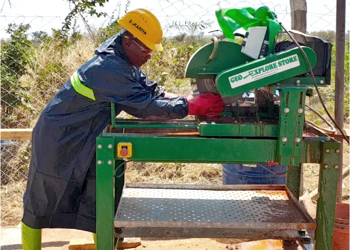
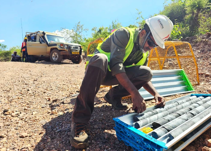
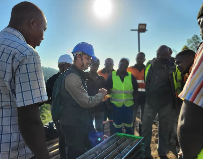
The cumulative drilling completed within the project area totals 9,500+ meters, executed over a period of approximately 10 months, under the continuous technical supervision of Sakariya Geo Services. Drill core was logged, sampled for IR combustion with proper QAQC, and processed using industry-standard protocols consistent with JORC reporting requirements.
A selection of representative core samples underwent detailed analytical testing to characterize the graphite mineralization. Laboratory work included stereo microscopy, X-ray diffraction (XRD), Fourier-transform infrared spectroscopy (FTIR), Raman spectroscopy and Scanning Electron Microscopy (SEM) imaging. These analyses provided key information on flake size distribution, graphite purity, and the mineral assemblages of the host rocks, supporting both geological interpretation and resource evaluation.
Based on the drilling data, lithologs, petrography with other analytical techniques and the assay results received, an encouraging dataset is built on both qualitative and quantitative aspects of graphite resource. Substantial resource was estimated by the in-house team of Sakariya Geo Services using Leapfrog. Subsequently, a 3D model was prepared based on all relevant data base. Under the supervision of senior experts, the team had conducted geostatistical estimation also. Based on data availability and the level of confidence, significant parts of the resource were categorized as Indicated, with additional Inferred category. Overall assessment reveals discovery of a world class graphite deposit.