Accurate instruments for dependable data

Delivering precise monitoring solutions that improve decision-making and project performance.

Petrographic Microscope

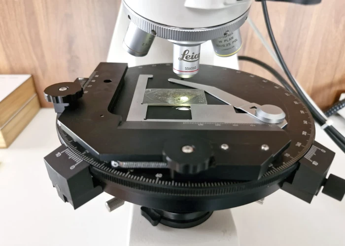
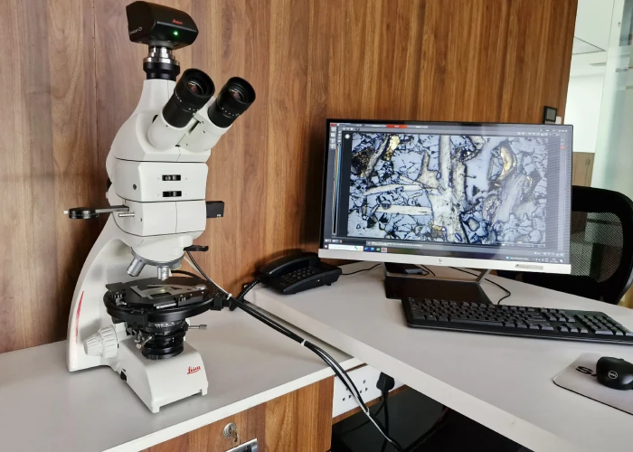
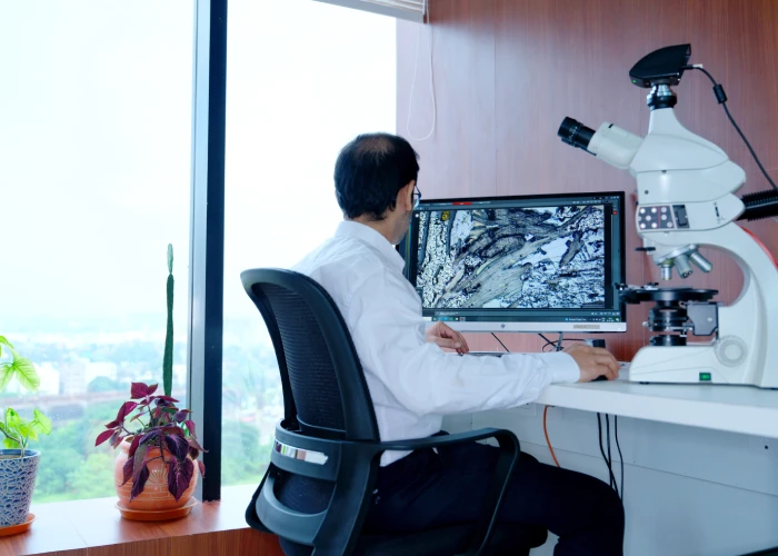
Our laboratory features a Leica DM750P petrographic microscope for high-resolution transmitted and reflected light analysis. It enables detailed examination of polished thin sections to support accurate mineral identification and textural characterization. Beyond standard petrographic work, we conduct graphite flake size and modal analyses to evaluate grade and liberation characteristics. Advanced tools such as gypsum plates and a Bertrand lens allow precise crystallographic observations, delivering reliable, decision-ready geological insights.

Petrographic Microscope

Key Capabilities

  • Dual-mode transmitted and reflected light petrographic analysis
  • Examination of thin sections, doubly polished sections, and polished blocks
  • Ore mineral identification, rock classification, and textural interpretation
  • Graphite flake size and modal analysis for grade and mineral liberation assessment
  • Evaluation of ore–gangue mineral associations, alteration studies
  • Advanced crystallographic analysis using gypsum plates and a Bertrand lens

Ground Magnetic Survey

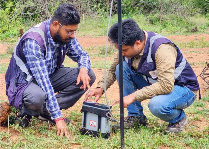
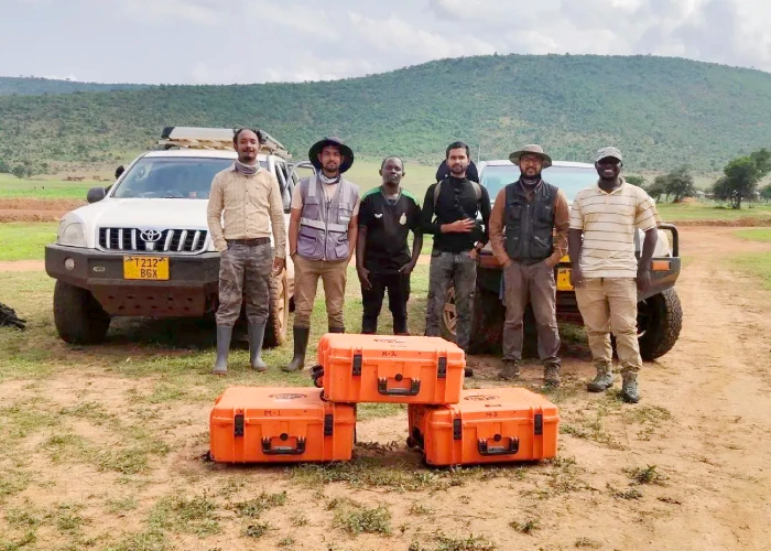
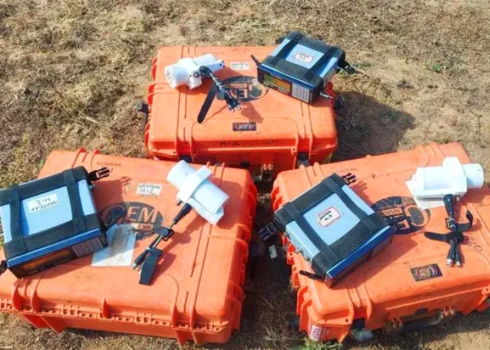
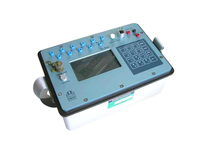
Sakariya Geoservices delivers high-resolution ground magnetic surveys using advanced proton precession and optically pumped magnetometers to detect subtle magnetic variations associated with subsurface geological structures. Tight station spacing and low sensor elevation enhance the resolution of near-surface features, while integrated GPS ensures precise positioning and reliable geological correlation. These surveys provide an effective follow-up to airborne magnetic data, refining sub-surface exploration targets for trenching, sampling, and drilling. Advanced data processing, including filtering and inversion techniques, enables clearer structural interpretation and strengthens exploration and geological mapping outcomes.

Ground Magnetic Survey

Key Capabilities

  • High-sensitivity magnetic data acquisition along systematic traverses
  • Close station spacing and low sensor height for enhanced near-surface resolution
  • Accurate geospatial referencing with integrated GPS
  • Effective follow-up to airborne or drone magnetic surveys
  • Detection of mafic–ultramafic bodies, faults, shear zones, and magnetic mineralisation
  • Advanced processing: RTP, derivatives, analytic signal, tilt derivative
  • 3D magnetic inversion for subsurface susceptibility modelling
  • Strong correlation with geological, geochemical, and other geophysical datasets

IP Survey

Induced Polarization (IP) surveys measure subsurface chargeability and resistivity to identify disseminated sulphides, alteration zones, and structural features that may be hidden in complex or covered terrains. By injecting controlled current into the ground and analyzing voltage decay, IP surveys help map minerals such as pyrite, chalcopyrite, and sphalerite with high sensitivity. When combined with 2D/3D inversion, IP data produces detailed subsurface models that guide drilling and refine exploration targets. Using advanced systems like the Elrec Pro receiver and the TIP 12000 transmitter, one of the most powerful transmitters available, we deliver precise, high-depth data suitable for base metals, gold, silver, and porphyry exploration.
IP Survey
IP Survey

Key Capabilities

  • Measures chargeability and resistivity for detecting disseminated sulphides
  • Effective in covered or structurally complex geological settings
  • Identifies pyrite, chalcopyrite, sphalerite, and related mineralisation
  • Supports mapping of alteration zones and subtle structural controls
  • High-resolution data acquisition using the Elrec Pro receiver
  • Deep penetration and strong current output with TIP 12000 transmitter
  • 2D and 3D inversion for accurate subsurface modelling
  • Enhances drill planning and reduces exploration uncertainty